Garmin
Garmin LCA100F LakeVu g3 Canada
Garmin LCA100F LakeVu g3 Canada
Couldn't load pickup availability
Garmin LCA100F LakeVu g3 Canada
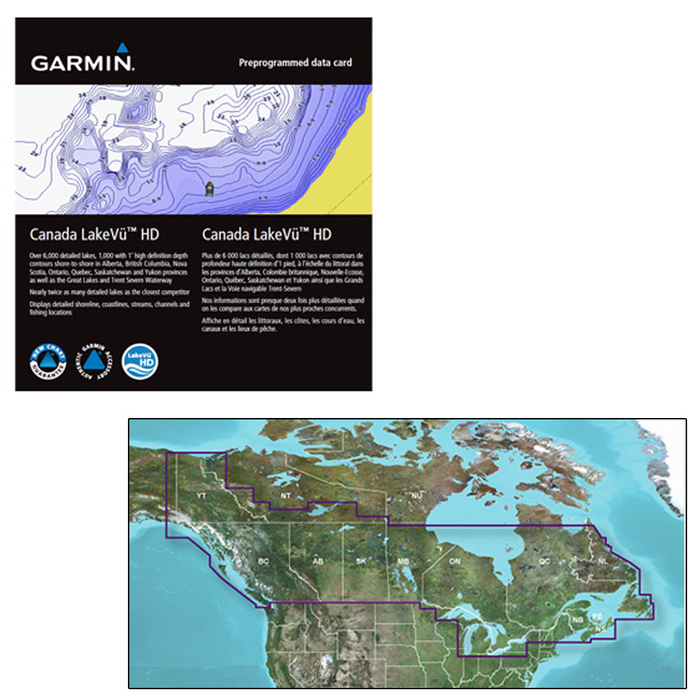
Garmin LCA100F LakeVü g3 Canada
Model: 010-C1113-00- Industry-leading coverage, clarity and detail with updated inland maps that feature integrated Garmin and Navionics® content
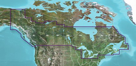
- Coverage for more than 13,500 total lakes, of which more than 4,800 have 1’ contours
- Auto Guidance technology quickly calculates a suggested route by using your desired depth and overhead clearance
- Includes Depth Range Shading for up to 10 depth ranges, enabling you to view your target depth at a glance
- To give a clear picture of shallow waters to avoid, the Shallow Water Shading feature allows for shading at a user-defined depth
Experience unparalleled coverage and brilliant detail when you’re on the water. Canada LakeVü g3 inland maps provide industry-leading coverage, clarity and detail with updated inland maps that feature integrated Garmin and Navionics content.
Auto Guidance - Whether you are fishing or cruising, select a spot, and get a route showing you the general path and nearby obstructions at a safe depth1.
Depth Range Shading - This feature displays high-resolution Depth Range Shading for up to 10 depth ranges so you can view your designated target depth.
Shallow Water Shading - To give a clear picture of shallow waters to avoid, this feature allows for shading at a user-defined depth.
Access Your Charts and Maps - Download the ActiveCaptain® app to use OneChart™, which gives you access to all your charts and maps from your mobile device and even lets you purchase new ones.
1Auto Guidance is for planning purposes only and does not replace safe navigation practices. Auto Guidance is not included in preloaded LakeVü g3 for ECHOMAP™ Plus series chartplotters.
Canada
SpecificationsNavionics® data
Yes
Total lakes covered
13,500+
Garmin Elite surveyed lakes
No
Fish attractors
No
Auto Guidance technology
Yes
High-resolution relief shading
No
Depth range shading
Yes
Shallow water shading
Yes
Unique 3-D views
No
Dynamic lake level
No
High-resolution satellite imagery
No
Surface and side scan sonar photos
No